CONTACT US
3671 Hartford Road, Hartford TN 37753
Office hours
8am-5pm daily
ACTIVITIES
RESOURCES
Popular Hiking In The Smokies
Felisha Rorabeck • Apr 17, 2024
Best Hiking Near Gatlinburg and Pigeon Forge

Did you know that the Great Smoky Mountain National Park is the most visited National Park in the United States? However, the GSMNP has the lowest hiker to visitor ratio of any national park in the country. To enjoy the Smokies to their full extent and bask in the glory and splendor of these ancient mountains, we suggest you take a hike! Sometimes one of the most daunting tasks when planning a trip is deciding which trail to hike. Whether you are a beginner, have young children, are a weekend warrior, or an avid multi-day backpacker, the Smokies has trails to suit everyone. In this blog, we have highlighted some of the best trails in the Smokies for the beginner, intermediate or expert hiker.
Kid Friendly Hikes
Cosby Nature Trail Loop
Roundtrip Distance: 1.1 Miles
Experience Level: Beginner
Located roughly ten miles from our outpost is the Cosby Section of the Great Smoky Mountain National Park. Here you will find the Nature Trail Loop, a 1.1 mile loop showcasing wildflowers, birding and natural splendors created by Cosby Creek.
Directions: Turn right out of the outpost. At the stop sign, turn left. Merge onto I40 West toward Knoxville and get off on the very next exit #443 Foothills Parkway. At stop sign, turn left. Follow for roughly 6 miles until you see the entrance for the Cosby Section of the GSMNP on the right.
Laurel Falls
Roundtrip Distance: 2.6 Miles
Experience Level: Moderate
The 80 foot high Laurel Falls is named after mountain laurel, a shrub you will find blooming along the trail in May. The trail is paved the entire way, with some short, steep inclines, bringing you to the base of the Upper Falls.
Directions: From Sugarlands Visitor Center, turn toward Cades Cove on Little River Road and drive 3.5 miles to the trailhead where there are parking areas on both sides of the road.
Clingmans Dome
Roundtrip Distance: 1 Mile
Difficult Level: Moderate
Clingmans Dome is the highest point in the park at 6,643 feet in elevation. The views are breathtaking and endless, allowing visitors to soak in the glory of the mountains and view the highest peaks in the park. Take the 1-mile round-trip walk up to the top of the observation tower. On your way back down the road, stop in and explore the Clingmans Dome Nature Trail for souvenirs or further information.
Directions: Turn off Newfound Gap Road 0.1 mile south of Newfound Gap and follow the 7-mile-long Clingmans Dome Road to the large parking area at the end.
Waterfalls You Can Drive To
.
Meigs Falls
The pulloff to view Meigs Falls is along Little River Road, 13 miles west of Sugarlands Visitor Center (7 miles east of Townsend). The falls is tucked away on the far side of Little River and can be easily missed while driving.
.
The Sinks
This waterfall is short in stature, but its volume includes the entire flow of Little River. The parking area to view the falls is along Little River Road, 12 miles west of Sugarlands Visitor Center.
Place of a Thousand Drips
During wet periods, this waterfall is dramatic as the flow of water splits into numerous small channels cascading around rocks and creating "a thousand drips." From the parkway in Gatlinburg, turn at traffic light #8 and follow Historic Nature Trail into the park. Take Roaring Fork Motor Nature Trail (closed in winter). The waterfall is at stop #15.
Intermediate/Moderate Hikes
Hen Wallow Falls
Roundtrip Distance: 4.4 Miles
Difficulty: Moderate
Hen Wallow Creek is only two feet wide at the top of the falls but fans out to 20 feet at the base, creating Hen Wallow Falls. The waterfall is 90 feet high and worth the pleasant hike through the hemlock and rhododendron forest. If you look carefully in the water at the base of the falls, you can often find salamanders.
Trailhead: Park in the designated hiker parking area at Cosby Picnic Area (near the entrance to Cosby Campground). Then backtrack on foot approximately 100 yards along the road to the signed start of the Gabes Mountain Trail.
Directions: Turn right out of the outpost. At the stop sign, turn left. Merge onto I40 West toward Knoxville and get off on the very next exit #443 Foothills Parkway. At stop sign, turn left. Follow for roughly 6 miles until you see the entrance for the Cosby Section of the GSMNP on the right.
Middle Prong Trail
Roundtrip Distance: 8.3 Miles
Difficulty: Moderate
This hike along the Lynn Camp Prong to the scenic Indian Flats Falls is the quintessential Smoky Mountains stream hike. Be sure to pack your camera! From spring’s floral explosion to October’s stunning autumn foliage, you’ll want to capture every step of this beautiful trail. Due to the hike’s growing popularity, be prepared for crowds during peak fall weekends.
Advanced Hikes
Mount Cammerer
Roundtrip: 16 Miles
Mt. Cammerer is a 16 mile loop that brings you to a summit with a small historic fire tower boasting some of the best views of the Smokies. To break the trip up, you can stay at backcountry site #35 (permits required). Arriving on the Cosby Entrance road you will find a parking lot for hikers to the left. From the lot, follow the Low Gap Trail up and past the Cosby Campground. After a stream crossing you will reach an intersection where the Low Gap meets the Lower Mount Cammerer Trail. This is the start of the loop; head counterclockwise following the Low Gap Trail. After a strenuous few miles you will reach an intersection with the Appalachian Trail. Take a left and follow the AT until you arrive at a short spur trail that leads to Mount Cammerer’s summit.
Mount Leconte
Roundtrip Distance: 17.5 Miles and will require a shuttle
Hit the Smoky Mountain Trifecta on one hike: Waterfalls, the Appalachian Trail and Leconte Lodge! There are several trails to choose from to approach the mountain, with the most popular being Alum Cave Trail. Begin at Trillium Gap Trailhead. Along the way you will pass Grotto Falls, a small falls along the trail that allows the hiker to walk behind and underneath the falls, and can go view the falls off Brushy Mountain Trail. After making it up to the lodge, take advantage of the pre-treated water and restrooms before heading over to the shelter. Into sunsets? Head to the Clifftops overlook, about half a mile from the shelter. Myrtle Point is the place to see the sunrise and both locations offer beautiful photo opportunities. In the morning, after you start on the Boulevard Trail, use the cables as necessary if you’re afraid of heights, as there are a few steep sections next to the trail. After a lot of up and down, you’ll finally make it to the intersection with the Appalachian Trail. Follow the AT all the way back to Newfound Gap to finish out the hike.
Upper River Trip
Experience our most popular adventure. Raft the Upper Pigeon River.
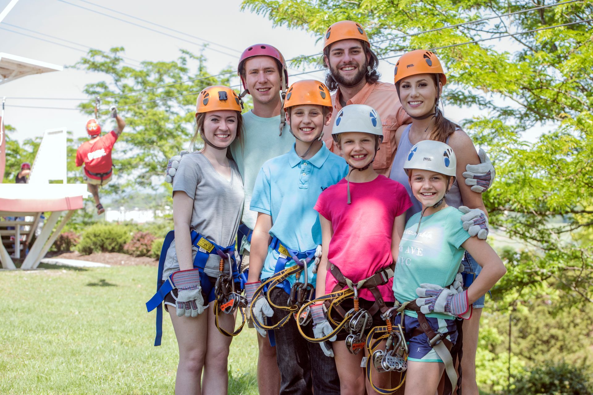
Ziplines The Whole Family Can Enjoy
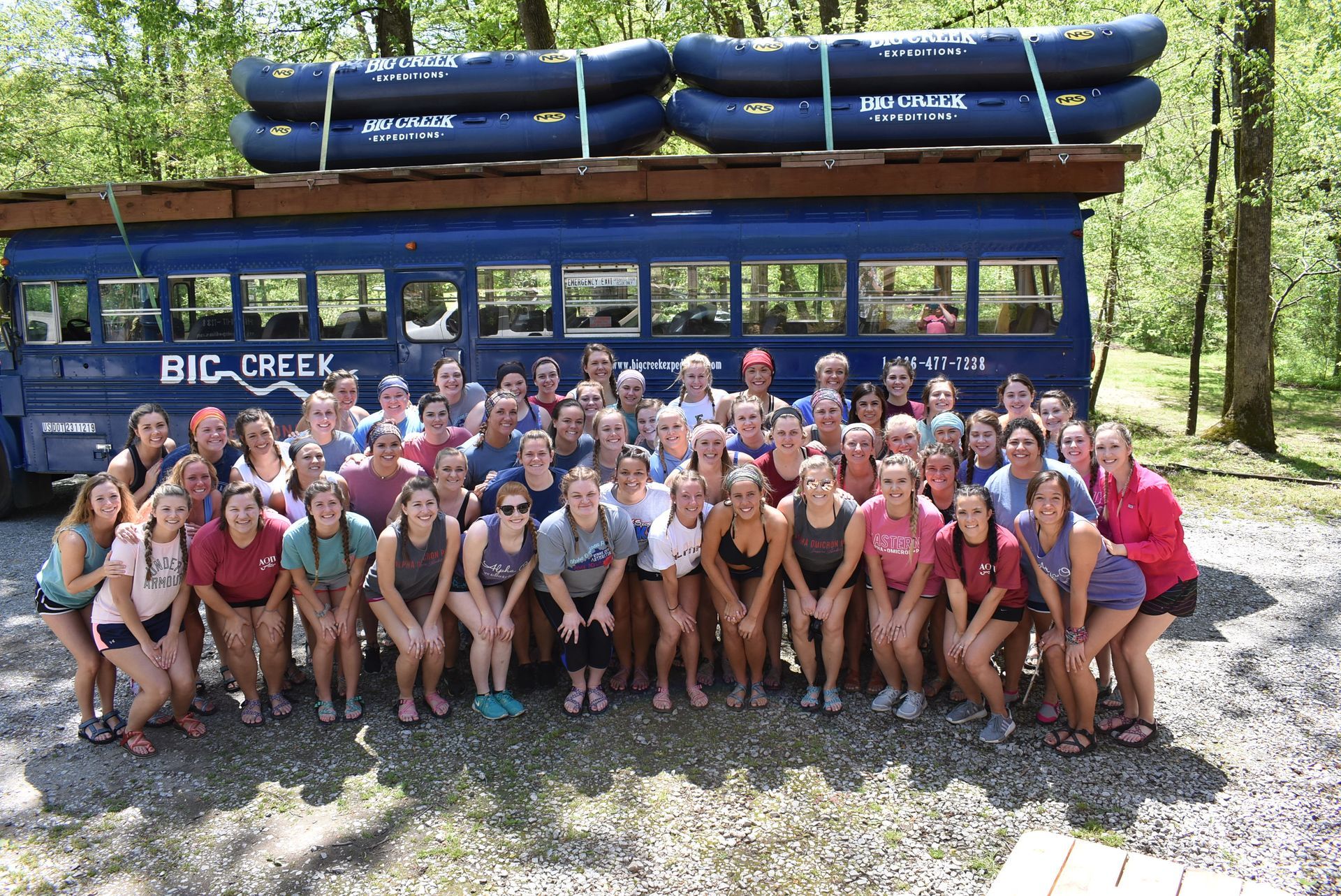
Bring Your Group for An Epic Whitewater Adventure
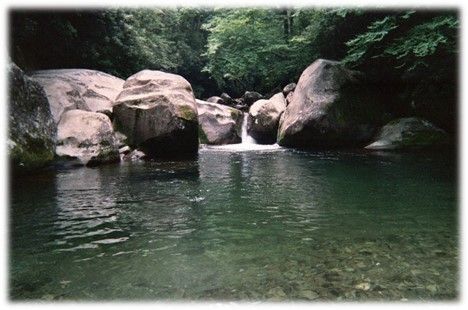
Midnight Hole
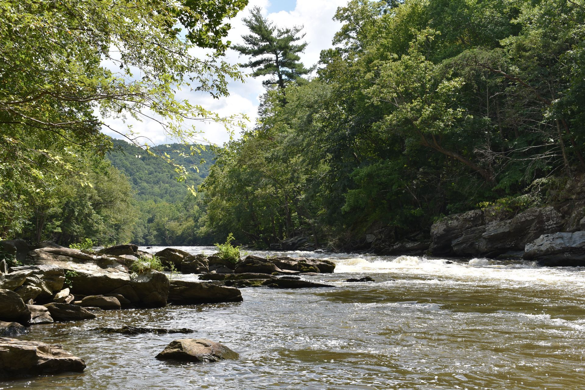
Explore Fishing On The Pigeon River
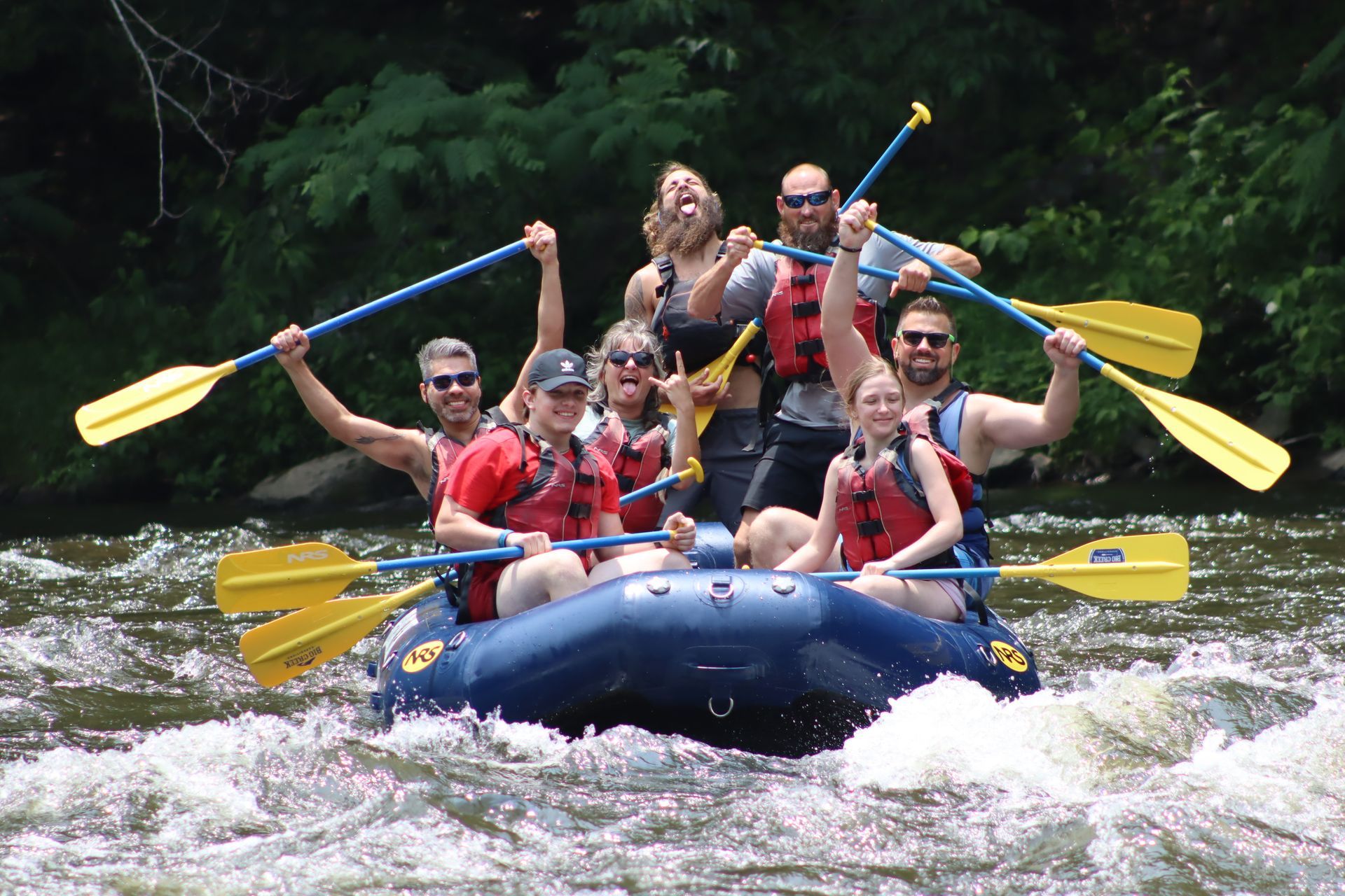
Rafting, Ziplining, and Horseback Riding
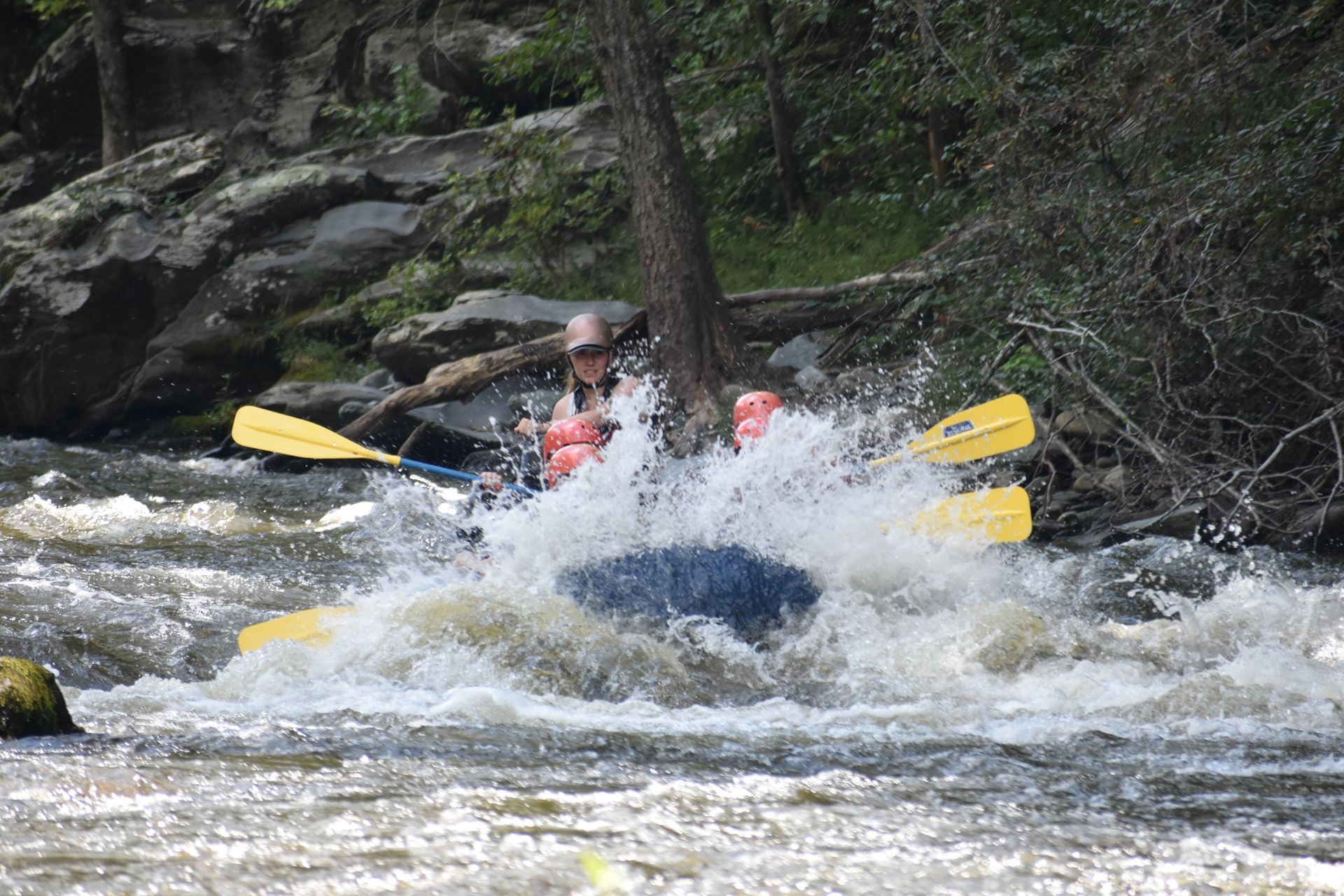
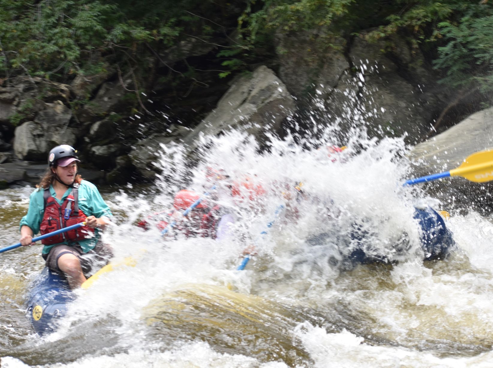
Raft With Us This Spring
Embark on an unforgettable whitewater rafting adventure in Gatlinburg, Tennessee with our expert guides and top-notch amenities.
Join The Big Creek Family
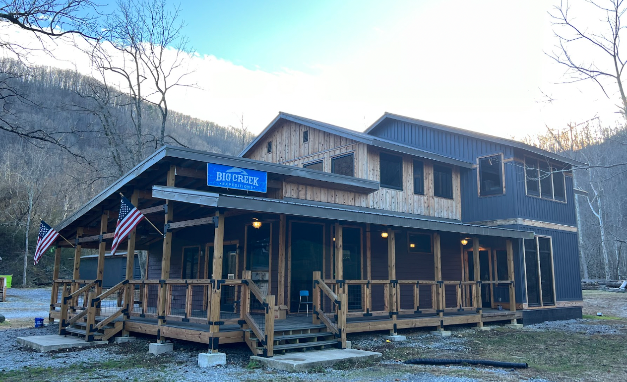
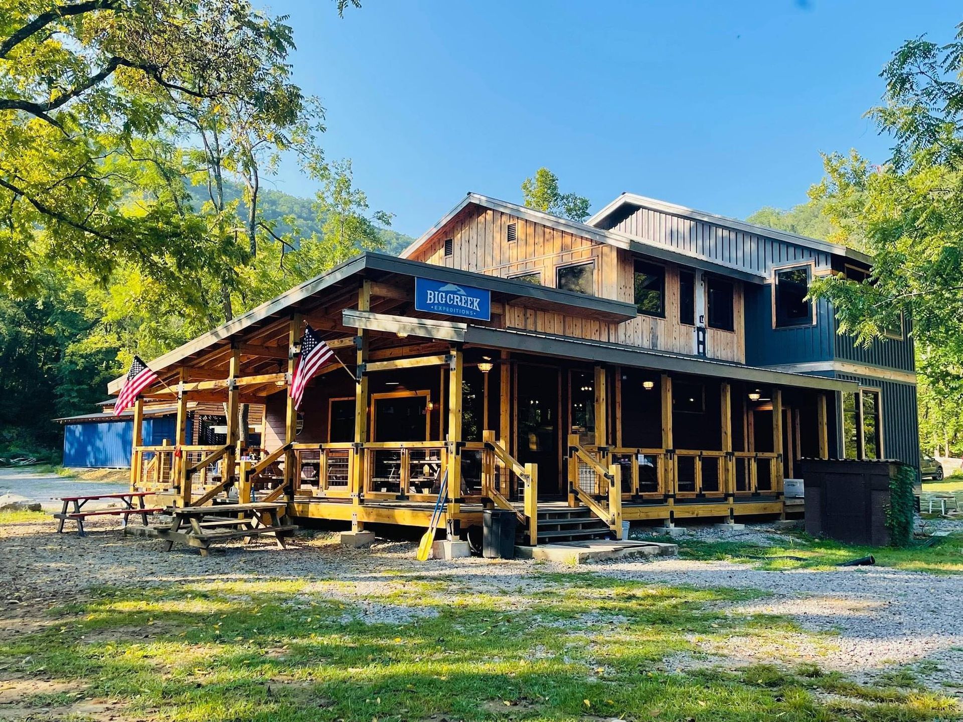
Our gatlinburg whitewater rafting Outpost and changing facility are newly painted and fully furnished
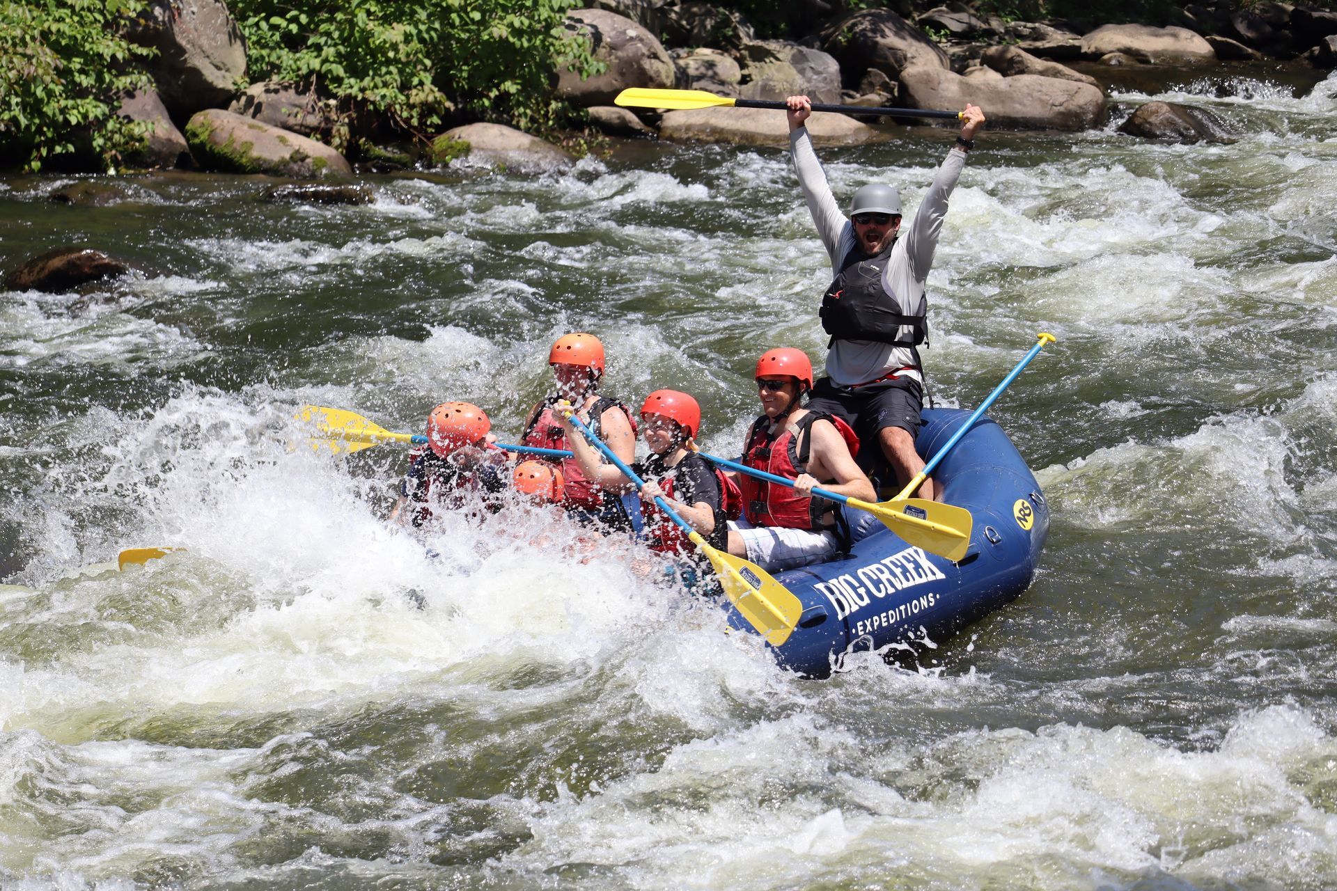
Premiere Adventure for Whitewater Rafting Gatlinburg, Pigeon Forge, Tennessee
ACTIVITIES
RESOURCES
CONNECT WITH US
cHAMBERS & aSSOCIATIONS


Website by RESMARKWeb | Online booking system powered by RESMARK